Educational software and reference design
Geographic Detective Academy
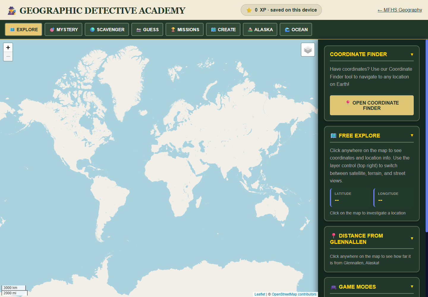
An interactive atlas and reference with coordinate mysteries, clue creation, Alaska activities, and Ocean Explorer, built for geographic investigation in the browser.
The design brief
Coordinates, mysteries, and an atlas to investigate.
A geography reference can become a list of facts to memorize. This project makes location, comparison, and investigation part of the interaction, with saved reference material available alongside the map.
- An interactive atlas with coordinate mysteries
- Clue creation and investigative activities
- A public reference built from saved datasets
- Device-local geography progress
THE DESIGN
DECISIONS.
- 01
Use an interactive Leaflet map and Canvas-based visual work to connect geographic relationships with coordinate mysteries, clues, Alaska activities, and ocean exploration.
- 02
Build the core reading and search experience around saved datasets prepared with Node.js, so those reference functions do not require runtime AI generation.
- 03
Keep geography progress on the device, giving the experience a defined local state model.
Open the actual work
TAKE A
CLOSER LOOK.
Open the public launcher, atlas, and reference to explore the map investigations, coordinate work, and saved reading material. The three views make the relationship between activity and reference visible.
Next project
Wren and Sitka's Field Notebook