 OPEN PROJECT
01
Personalized curriculum design
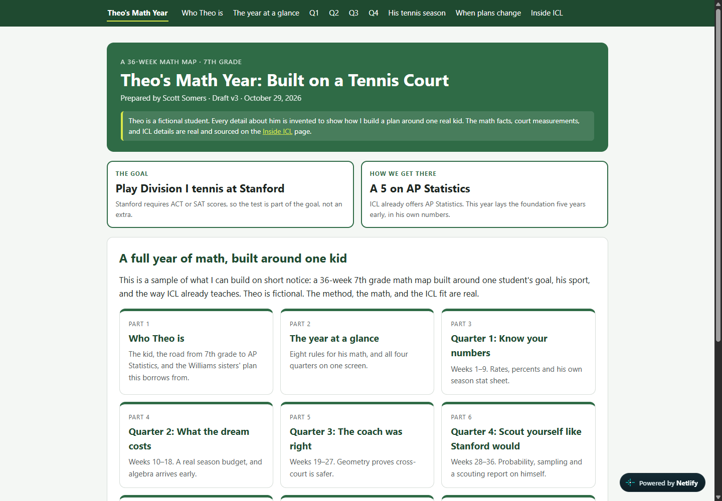
Theo's tennis math map
A 36-week seventh-grade mathematics map for a fictional tennis player with a long-term ambition: play Division I tennis and reach Stanford.
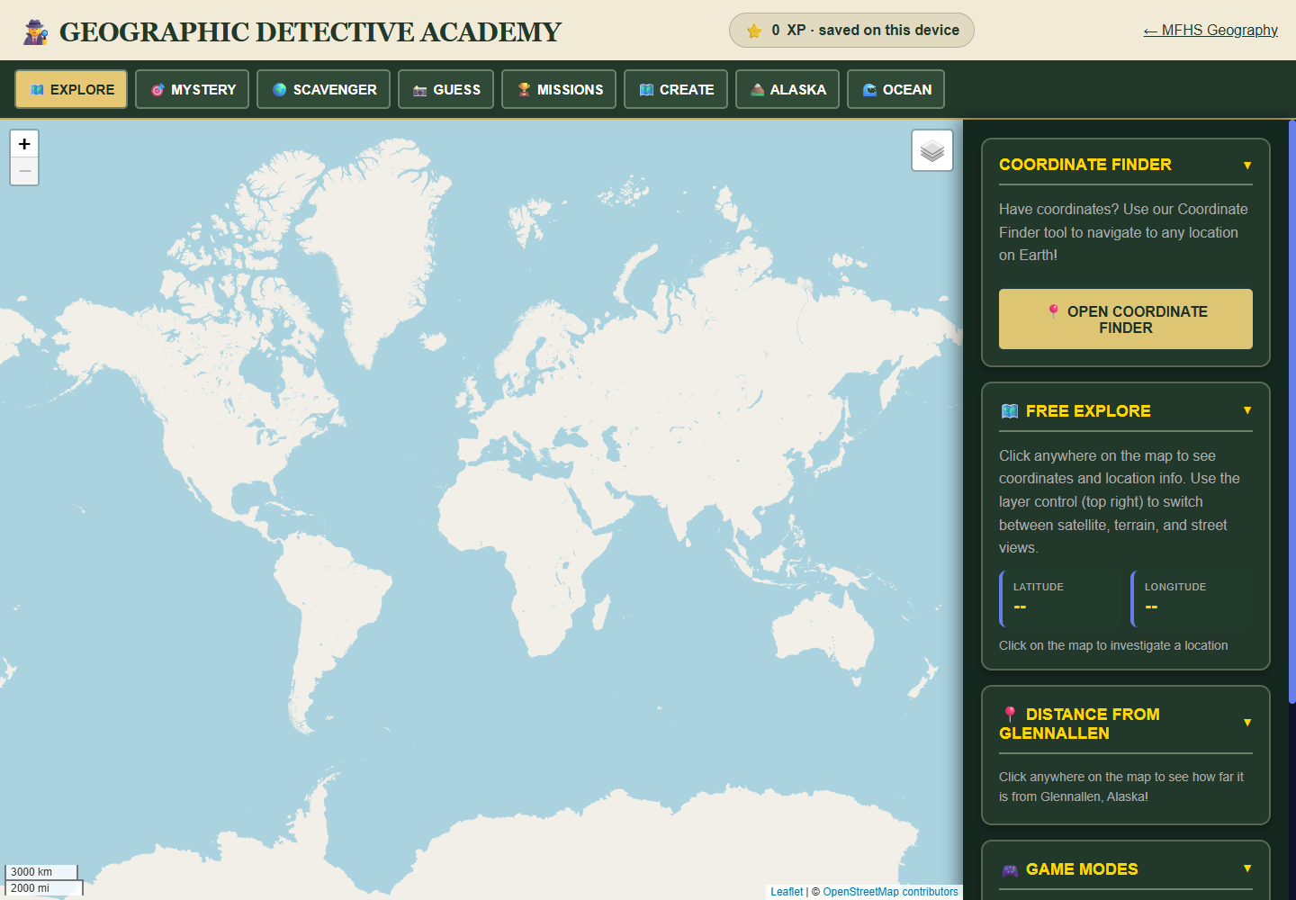
Fictional learner sampleAn interactive atlas and reference with coordinate mysteries, clue creation, Alaska activities, and Ocean Explorer, built for geographic investigation in the browser.
Public educational tool
StatusLive browser experience
01 / The need
A geography reference can become a list of facts to memorize. This project makes location, comparison, and investigation part of the interaction, with saved reference material available alongside the map.
02 / Design decisions
03 / What you can inspect
Open the public launcher, atlas, and reference to explore the map investigations, coordinate work, and saved reading material. The three views make the relationship between activity and reference visible.
OPEN PROJECTPersonalized curriculum design
A 36-week seventh-grade mathematics map for a fictional tennis player with a long-term ambition: play Division I tennis and reach Stanford.
Fictional learner sample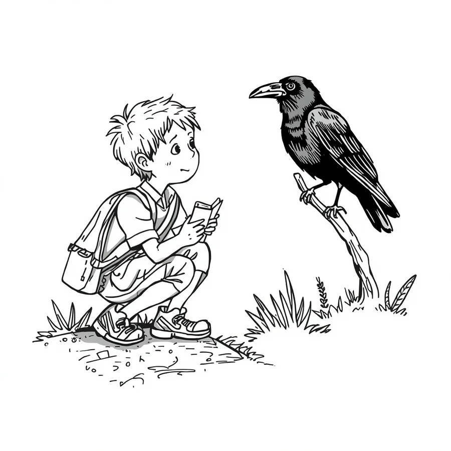 OPEN PROJECT
Lesson design and print production
Twenty five two-page nature investigations for grades 3 to 5, designed around a teaching page, an activity, and a reason to notice the world outdoors.
Published learning materials